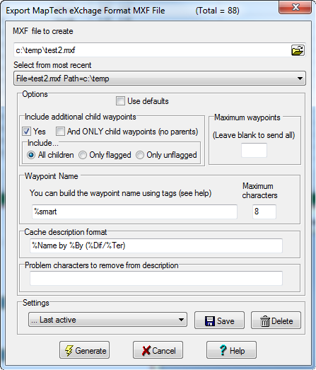
Use this dialog box to create a MXF waypoint file in a format suitable for the MapTech application. The MapTech MXF file is a plain text file in which each line represents a waypoint description consisting of a comma-separated list of values.
Click on any screen section for more information about that feature.